Land for Sale in Malheur County, Oregon
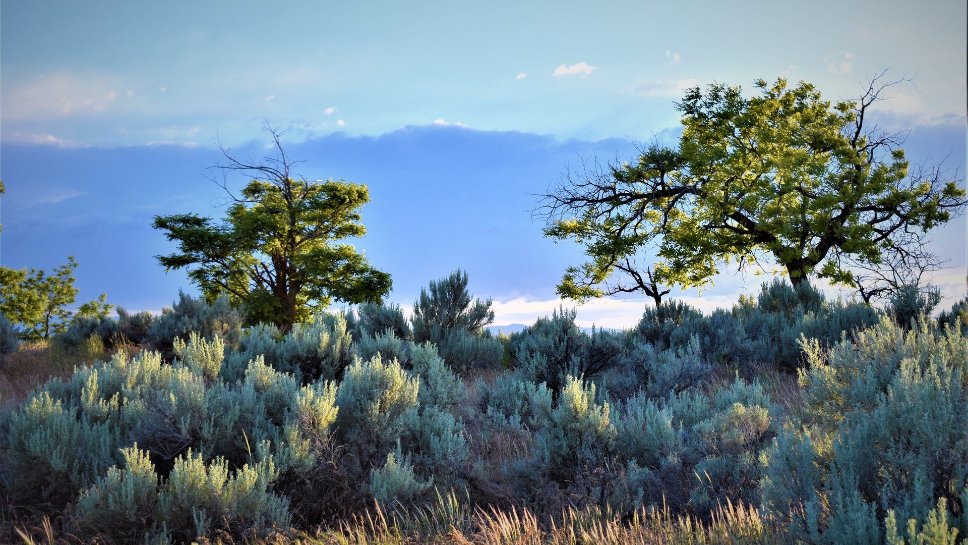
Malheur County is eastern Oregon's high desert, and its land market reflects that geography directly: dry, open, agricultural ground where irrigation - not rainfall - determines what a parcel is worth. Ontario, Nyssa and Vale anchor the county's three built-up areas, but most of Malheur County's roughly 32,000 residents live within reach of working farm ground, not inside a town.
This county also happens to be the birthplace of the Tater Tot. The Ontario plant was built in 1943; the Grigg brothers took it over at auction around 1951 and formed the Oregon Frozen Foods Company, and by 1953 the same operation had invented the Tater Tot as a way to use leftover potato scraps. The plant, now run by J.R. Simplot Company under the Ore-Ida brand for Kraft Heinz, employed approximately 600 people in Ontario as of the 2022 Kraft Heinz-Simplot ownership transition - a specific, verifiable piece of the county's agricultural-processing economy, not just a trivia fact, though current headcount should be reverified before publishing.
True North Real Estate Group helps buyers compare Malheur County listings with related communities and rural property options across southwestern Idaho and eastern Oregon.
Malheur County Market Snapshot
Median List Price
Active
Average Days On Market
Active
Active Listings
Malheur, OR
Malheur County land and local perspective
Malheur County is eastern Oregon's high desert, and its land market reflects that geography directly: dry, open, agricultural ground where irrigation - not rainfall - determines what a parcel is worth. Ontario, Nyssa and Vale anchor the county's three built-up areas, but most of Malheur County's roughly 32,000 residents live within reach of working farm ground, not inside a town.
This county also happens to be the birthplace of the Tater Tot. The Ontario plant was built in 1943; the Grigg brothers took it over at auction around 1951 and formed the Oregon Frozen Foods Company, and by 1953 the same operation had invented the Tater Tot as a way to use leftover potato scraps. The plant, now run by J.R. Simplot Company under the Ore-Ida brand for Kraft Heinz, employed approximately 600 people in Ontario as of the 2022 Kraft Heinz-Simplot ownership transition - a specific, verifiable piece of the county's agricultural-processing economy, not just a trivia fact, though current headcount should be reverified before publishing.
Water rights, irrigation and due diligence on Malheur County land
Water is the organizing fact of Malheur County real estate. A parcel's irrigation district assignment, whether its water right is appurtenant to the land, and whether that right has been used within the required period all need answering before an offer - not during escrow, when a problem is far more expensive to unwind.
Kellie Robinson's water-rights background, developed through her own competitive-reining and working-property experience, is directly relevant to Malheur County's agricultural land specifically. She has also closed 452 lifetime transactions across both Idaho and Oregon, which matters here because many buyers comparing Malheur County land are also looking at comparable acreage across the Snake River in Payette County, Idaho.
Explore the county
Malheur County's built-up areas each offer a different entry point into the broader land market:
- Ontario - the county's largest city, seat of Malheur County, home to the Ore-Ida/Tater Tot plant
- Nyssa - smaller, agricultural, the Thunderegg Capital of the World
- Vale - the historic Oregon Trail county seat southwest of Ontario
- Payette County, ID - the Idaho side of the same river valley
- All areas we serve across eastern Oregon and southwestern Idaho
Ready to start? Talk to us about buying land in Malheur County or find out what your Malheur County property is worth.
What Is Your Malheur County Land Worth?
Land values vary with access, water rights, zoning, irrigation, and improvements. Ask for a property-specific review.
Ask About Your Land ValueFree, no obligation.
Malheur County Real Estate FAQ
Where can I find cheap land in Oregon for under $5,000?
Not in Malheur County specifically at scale - even the county's cheapest raw high-desert acreage typically starts well above $500 per acre, meaning a full acre can clear $5,000, but a small, remote, unimproved parcel with no road or utility access is the closest realistic match.
- Eastern Oregon's high desert counties, Malheur included, run roughly $500 to $3,000 per acre for raw, non-irrigated land (2026 regional land-market data).
- A five-acre remote parcel at the low end of that range could fall under $5,000 total for the land alone - but "under $5,000" almost always means no water right, no road access and no utilities, which changes what the land can actually be used for.
- A reliable current active-listing median specifically for Malheur County could not be independently verified this session; the USDA's statewide irrigated ($8,000/acre) and non-irrigated ($3,000/acre) cropland figures above are the more defensible anchor points until a direct county-level pull is available.
Cheap and usable are different questions on raw eastern Oregon land. Talk to us before assuming a low price includes water or access.
Where can you buy an acre of land for $1000?
Realistically, not inside Malheur County's irrigated farm belt - but the driest, most remote stretches of the eastern Oregon high desert, including parts of this county, can approach that price for land with no water right and no development potential.
- Statewide, Oregon's eastern high-desert counties (Harney, Lake, Malheur, Wheeler) run $500-$3,000 per acre for raw land, putting $1,000 within reach only at the very low end and only for genuinely undeveloped ground.
- Compare that to Oregon's statewide irrigated cropland value of $8,000 per acre - the gap between "cheap desert land" and "productive farm ground" here is almost entirely about water.
- A $1,000-per-acre parcel in this county is very unlikely to carry a water right, which matters enormously for anything beyond dry grazing or recreational use.
How much is 1 acre of land worth in Oregon?
Statewide, Oregon's blended farm real estate average is about $3,780 per acre, but that single number hides an enormous range - Malheur County's own irrigated cropland can run several times that, while remote high-desert acreage runs a fraction of it.
- Oregon statewide farm real estate average: $3,780 per acre, up from $2,950 per acre in 2021 (USDA 2025 data via Oregon State University Extension).
- Oregon statewide irrigated cropland: $8,000 per acre, up 2.5% year over year (USDA data via Oregon State University Extension, 2026).
- Oregon statewide non-irrigated cropland: $3,000 per acre, down 2.3% (same source).
Where is the cheapest land to buy in Oregon?
Oregon's cheapest land sits in its eastern high-desert counties - Harney, Lake, Malheur and Wheeler - where raw acreage runs $500 to $3,000 per acre, a small fraction of western Oregon's Willamette Valley or Portland-metro pricing.
- Willamette Valley agricultural land: $10,000-$80,000+ per acre.
- Portland metro fringe developable land: $50,000-$500,000+ per acre.
- Eastern Oregon high desert, Malheur County included: $500-$3,000 per acre for raw land - the cheapest broad category in the state.
Malheur County is genuinely one of Oregon's most affordable land markets by geography alone, before even factoring in the absence of a state sales tax. See Ontario's page for the county's largest city and its housing market specifically.
Are real estate prices dropping in Oregon?
Not broadly - Oregon's farmland values have continued rising, though growth has softened from prior years, and Malheur County's own towns show mixed but generally positive movement.
- Oregon irrigated cropland: +2.5% year over year to $8,000/acre (2026); the prior year's gain was a larger 3.4%, so growth is slowing, not reversing.
- Non-irrigated cropland actually declined slightly, -2.3% to $3,000/acre - a genuinely mixed picture depending on land type, not a uniform trend in either direction.
- Within the county, Ontario's median sale price was $309,795 in August 2026, up 0.6% year over year (Redfin) - modest growth, consistent with the land-market pattern of slowing rather than falling.
Is land cheaper in Washington or Oregon?
Both states follow the same east-cheap, west-expensive pattern, and their driest eastern regions price similarly - Washington's most remote eastern acreage can start slightly lower than Oregon's, but Malheur County's own pricing is competitive with anything comparable across the state line.
- Eastern Washington's most remote desert and scrubland: $500-$2,000 per acre.
- Eastern Oregon high desert, Malheur County included: $500-$3,000 per acre for raw land.
- Irrigated cropland runs close in both states at the high end - Washington's irrigated farmland can exceed $7,000-$8,000 per acre, essentially matching Oregon's $8,000 statewide average.
Where is the cheapest and safest place to live in Oregon?
We are not aware of a single authoritative source ranking Malheur County or its towns on both cost and safety simultaneously, and copy here avoids steering toward a specific neighborhood or town on a safety claim we can't verify to a standard we're comfortable publishing.
- On cost alone, Malheur County's towns - Ontario, Nyssa and Vale - all price well under the Oregon statewide median home value of roughly $499,000-$511,000.
- Crime-ranking sources reviewed for this county did not produce a Malheur-specific citation we consider reliable enough to publish as a factual claim; a buyer prioritizing safety data should pull current FBI Crime Data Explorer figures directly for the specific town in question.
- Cost and safety are also separate questions from land use - a cheap, safe town is a different search than cheap, usable farm ground outside it.
What state has the cheapest land to buy right now?
Nationally, New Mexico, Wyoming and Nevada lead on raw per-acre cost - Oregon, Malheur County included, is not among the very cheapest states, but its eastern high desert undercuts most of the rest of Oregon by a wide margin.
- New Mexico: roughly $725 per acre average, the lowest of any state (2026 USDA farm real estate data).
- Wyoming: about $1,000 per acre; Nevada: about $1,230 per acre.
- The U.S. average across all states is $4,350 per acre - Malheur County's own $500-$3,000 raw-land range sits below that national average even though Oregon overall does not rank among the ten cheapest states.
How much is 2 acres of land worth in Oregon?
At the statewide irrigated-cropland rate, two acres would run roughly $16,000; at Malheur County's high-desert raw-land rate, the same two acres could run anywhere from about $1,000 to $6,000 depending on water access and location.
- Two acres of Oregon irrigated cropland at the $8,000/acre statewide average: approximately $16,000.
- Two acres of Malheur County raw high-desert land at $500-$3,000/acre: approximately $1,000-$6,000.
- The gap between those two estimates is almost entirely about whether the parcel carries a water right - the single biggest price driver on land in this county, more than acreage or location alone.
Nearby Communities
Explore related communities in Oregon and the wider True North service area.
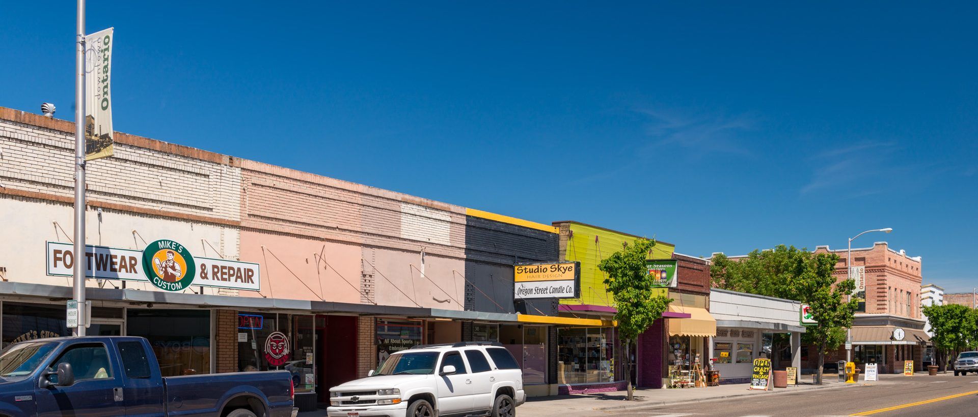
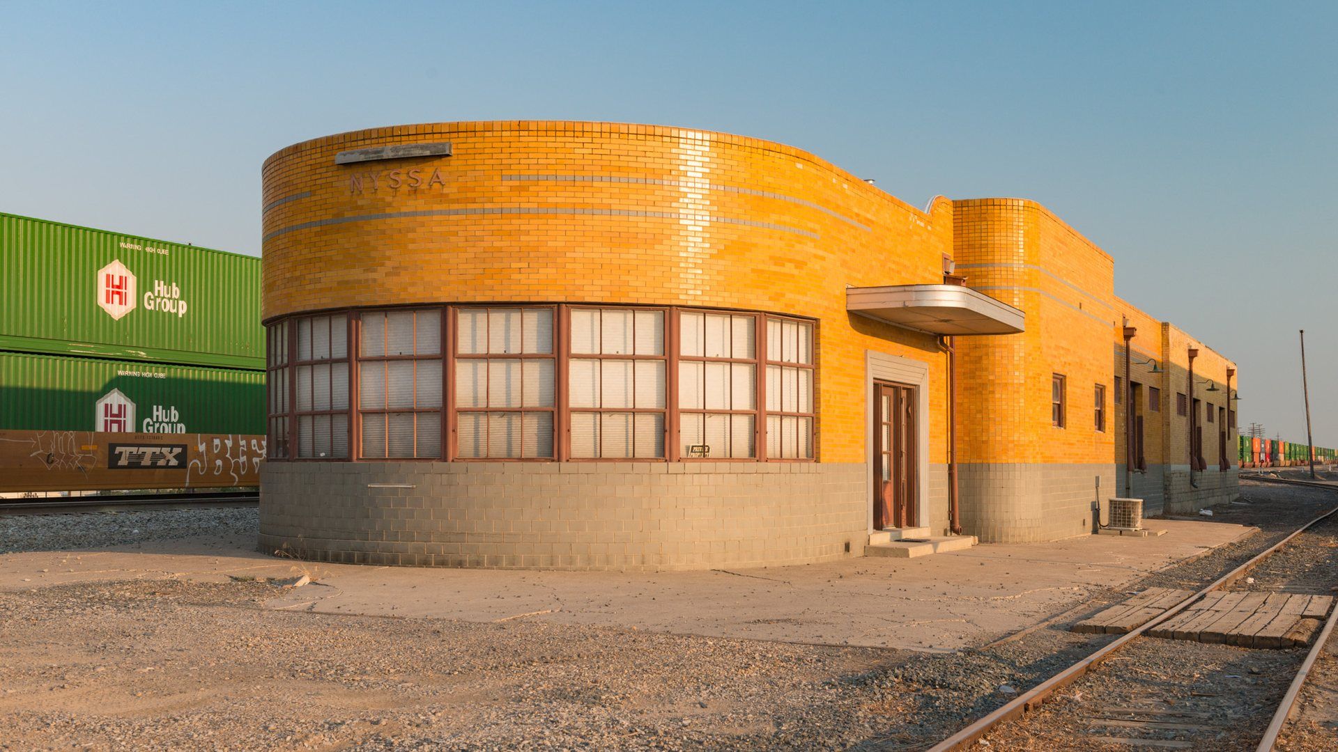
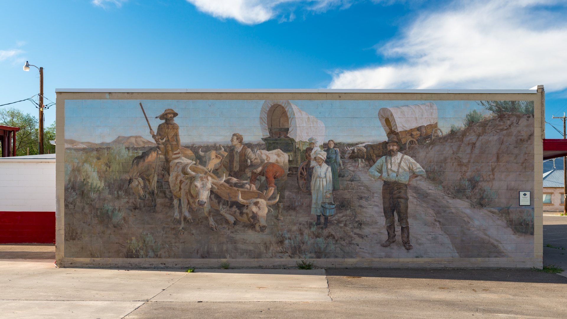
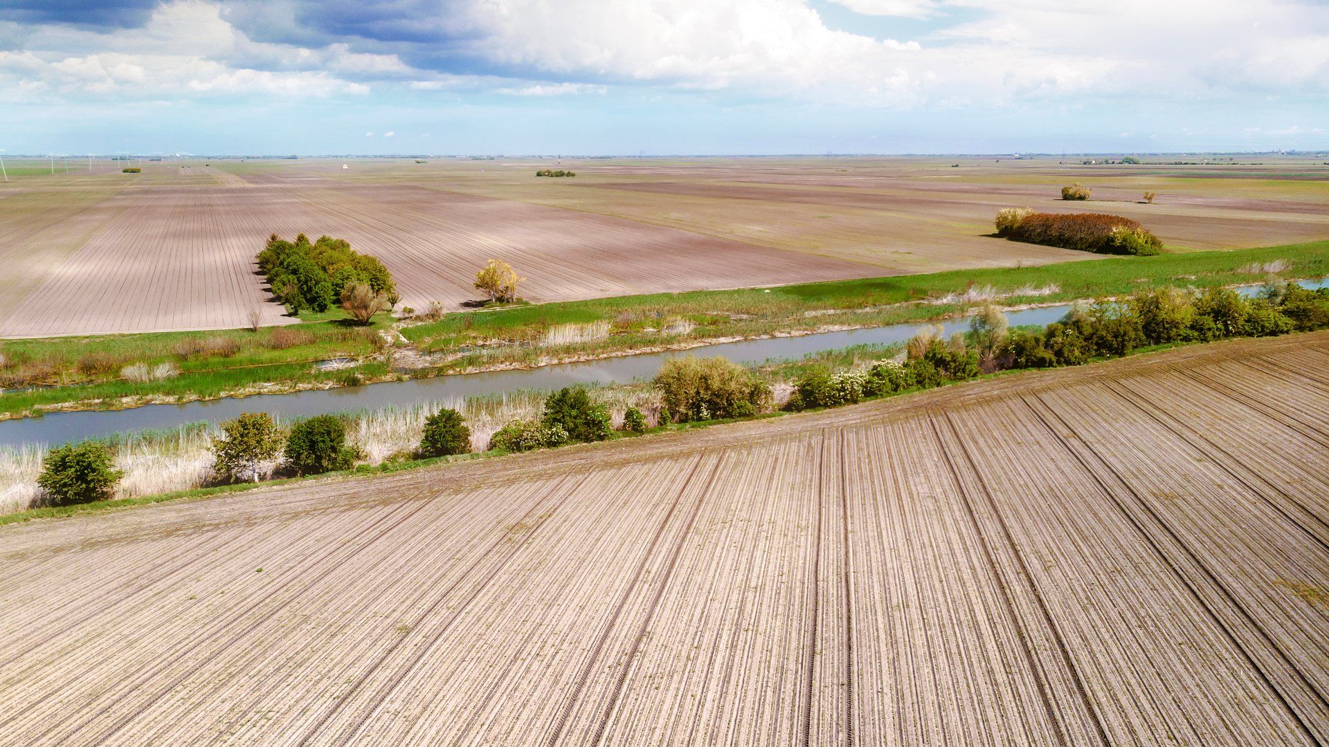
Photo credits: Representative stock image licensed from Envato Elements, not a documentary view of Malheur County. Related-community image sources and licenses are listed on the Photo Credits page.